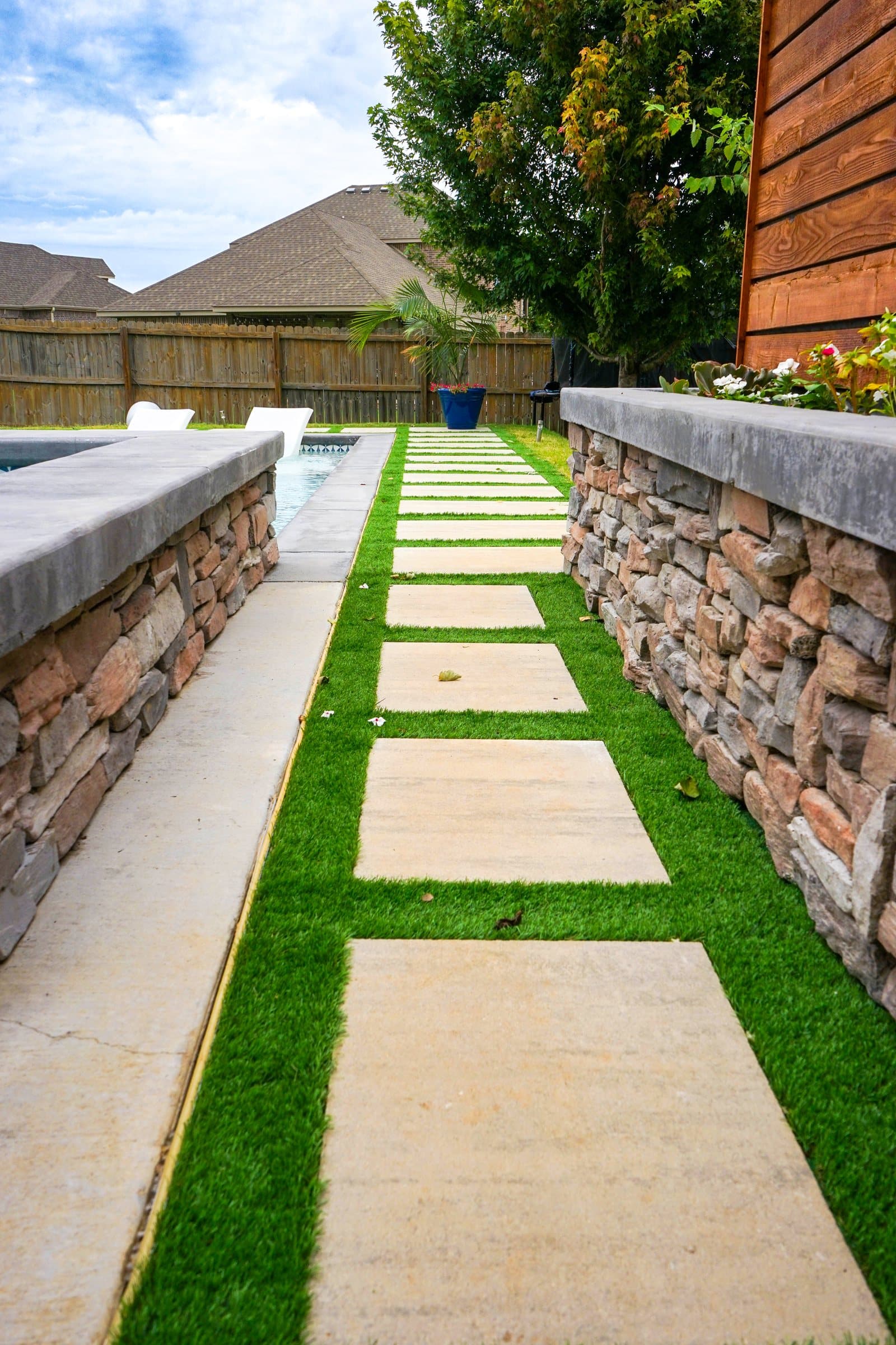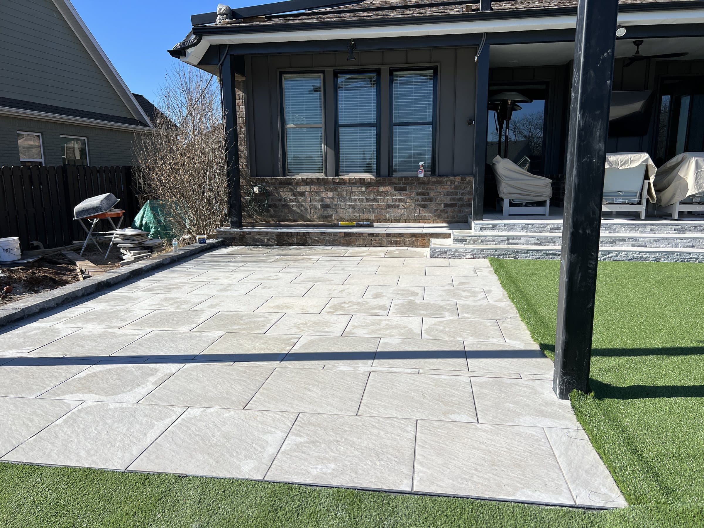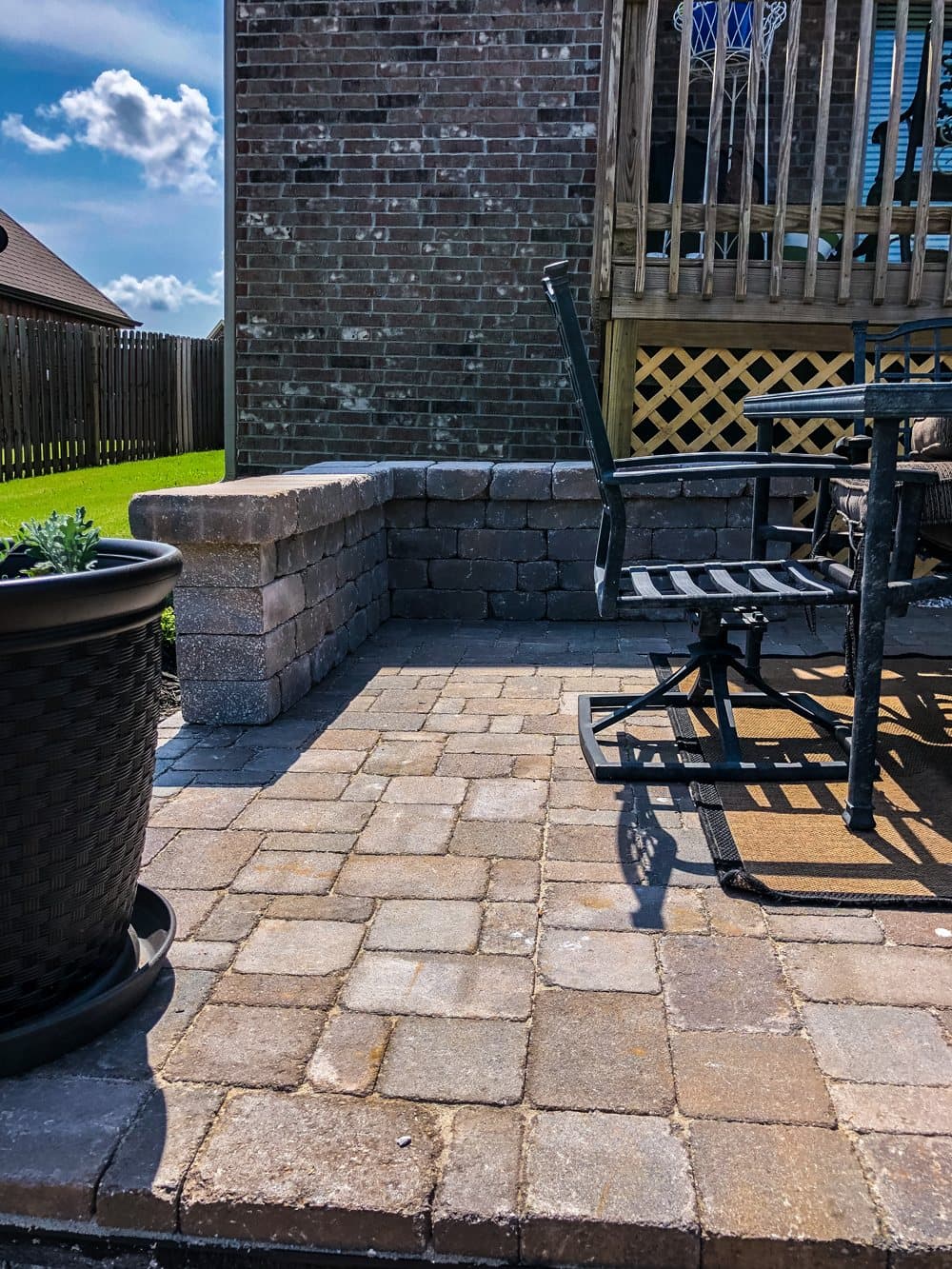

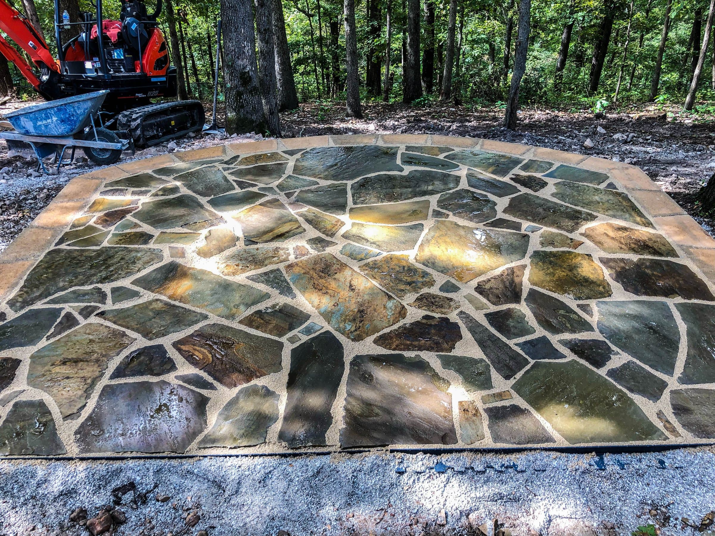
Most of Benton County sits on the Boone Formation, limestone interbedded with chert, and the soil above it is red clay loaded with chert fragments. For a patio that means excavation that can hit solid chert without warning, subsoil that drains slowly and can hold perched water through winter, and ground that changes within a single back garden. The base and the drainage have to be designed for that ground, not for a textbook soil.
01What is actually under a Benton County back garden?
Limestone and chert, with a blanket of red, stony clay on top.
The Arkansas Geological Survey puts Benton County on the Springfield Plateau, where the surface rock is the Mississippian Boone Formation. The Survey calls it probably the most widespread and most karst susceptible formation in the Ozark Plateaus. It splits into an upper cherty Boone, limestone interbedded with white to light gray chert, and the St. Joe Limestone Member below it. Where the limestone has dissolved over a very long time, what stays behind is the insoluble part: red clay packed with chert fragments. The Survey notes that sinkholes in this unit typically show only that red clay and chert in their walls.
Twenty minutes south the picture changes completely. Fayetteville, Farmington, Prairie Grove and Elkins sit on the Boston Mountains, which are sandstone and shale, and that ground has a different set of problems. This guide is about the plateau.
02What do the federal soil surveys say about the top few feet?
They describe slow draining, chert heavy soils with a dense layer that water struggles to get through, and two of them were first described right here.
The USDA's official description of the Captina series gives its type location as Benton County, 2.5 miles north of Cave Springs on Highway 112. The Tonti series is typed two miles east of Lowell. Both, and the Nixa series that covers a lot of Ozark ridgetops, carry a fragipan: a firm, brittle subsoil layer that roots and water barely penetrate. These are the soils the USDA itself lists as common in this landscape, and the numbers in their descriptions are worth reading before you plan anything heavy.
| Soil series | Where it was described | Depth to fragipan | What the USDA says about water |
|---|---|---|---|
| Captina | Benton County, 2.5 miles north of Cave Springs | 16 to 38 inches | Moderately well drained; permeability slow; runoff medium to high |
| Tonti | Benton County, 2 miles east of Lowell | 15 to 31 inches | Perched water table within 18 to 30 inches of the surface, December through April |
| Nixa | Ozark ridgetops and sideslopes (type location Marion County) | 14 to 27 inches | Permeability very slow; surface runoff index high to very high |
Your lot may be on none of these exactly, and the only way to know is to dig. But the pattern is consistent: water moves down through the top layer and then stops.
03Why is chert the part that wrecks a digging schedule?
Because chert is far harder than the clay around it and it does not sit where you expect it.
Chert is a silica rock; the NWA Business Journal piece quoting University of Arkansas geologist Walter Manger simply calls the plateau "limestone and flint." A compact excavator that moves red clay easily can stall on a chert bed. The Captina description says the chert content in its lower layer is extremely variable over short distances, from as low as 30 percent to as much as 90 percent, in discontinuous beds. The Nixa description has about 40 percent chert by volume in the top eleven inches and up to 85 percent lower down.
Put plainly, one corner of a patio can dig to depth in an hour and the opposite corner can need a breaker. That is why excavation is the line on a Benton County quote most likely to be wrong, and why a contractor who has not looked at your ground cannot honestly give you a fixed number over the phone.
04What does a fragipan do to a patio base?
It turns a badly drained base into a shallow bathtub.
A patio base is a layer of crushed aggregate, compacted, sitting in an excavation. Rainwater gets into it through the joints and at the edges. On a free draining soil that water keeps going down. On a soil with a fragipan a foot or two below the surface, it stops and spreads sideways, and if the excavation has no way out, the water sits in the base. The Tonti description is explicit that a perched water table sits within 18 to 30 inches of the surface from December through April, which is exactly the freeze season.
Saturated base in a month when the air goes below freezing most nights is how you get heave, rocking pavers and dips that hold puddles. The fix is not exotic: the base is shaped so water has a fall to an outlet, and on lots where the subsoil is tight, a drain line carries it somewhere it is allowed to go. What matters is that somebody planned for it. Our base depth guide covers the thickness question in detail.
05Is the ground the same across Benton County?
The rock is broadly the same across the plateau; what changes lot to lot is slope, depth to rock and how much water the site collects.
| Town | Ground | What we check first |
|---|---|---|
| Bentonville | Springfield Plateau, Boone limestone and chert | Depth to rock, access on older lots |
| Rogers | Springfield Plateau, Boone limestone and chert | Slope toward Beaver Lake, wall drainage |
| Springdale | Springfield Plateau, Boone limestone and chert | Roots on older lots, where water leaves |
| Cave Springs | Springfield Plateau; Captina type location is just north of town | Karst water routes, fragipan depth |
| Lowell | Springfield Plateau; Tonti type location is just east of town | Perched winter water |
| Centerton, Highfill | Springfield Plateau, flatter and more open | Where water can legally go |
| Bella Vista | Springfield Plateau, steep and wooded | Slope, walls, POA approval |
| Pea Ridge, Gravette, Siloam Springs | Springfield Plateau, Boone limestone and chert | Depth to rock |
| Tontitown | Washington County, but still plateau ground | Fragipan depth, drainage outlet |
| Fayetteville, Farmington, Prairie Grove, Elkins | Boston Mountains, sandstone and shale | A different problem: shale movement |
County lines do not follow geology. Tontitown and the north end of Springdale are in Washington County and still behave like plateau ground.
06Can the chert and clay you dig out go back in as fill?
Not under a patio, and a contractor who proposes it is saving money in the wrong place.
What comes out of a Benton County excavation is a mix of clay, silt and chert of every size. It is not graded, it does not compact evenly and the clay fraction holds water. A patio base needs a crushed aggregate with a controlled range of particle sizes, placed and compacted in lifts. Spoil has uses elsewhere on a site, such as shaping a planting bed, but it does not belong between your pavers and the subsoil.
The same logic applies to the bedding layer. The Concrete Masonry and Hardscapes Association construction note says bedding sand under concrete pavers should meet ASTM C33, often called concrete sand, and that masonry sand, limestone screenings and stone dust should never be used for bedding. Northwest Arkansas has no natural sand source of its own, so the temptation to substitute whatever fine material is to hand is real. Ask what is going under your pavers, by name.
07Does red clay mean the patio will crack or move?
Not by itself. Plateau ground is generally more forgiving than the shale country to the south; its problem is water and digging, not seasonal swelling.
Walter Manger's summary of the region was blunt: "Limestone is good. Shale is bad." Once you are down onto competent ground on the plateau, it tends to stay put. The risk on this ground is a base that holds water and freezes, or a soft pocket where clay has filled an old solution feature. Both are found by digging properly and looking, and both are handled by the base and drainage design rather than by the surface material.
If you already have a patio that is dipping or rocking, the cause is almost always in that layer. Our guide on why patios sink goes through the diagnosis.
08What should a quote on this ground actually say?
It should state what it assumes about rock and water, in writing.
On plateau ground, a good quote says how deep the excavation goes, what happens and what it costs if solid chert or rock turns up before that depth, where the spoil goes, what aggregate goes into the base and in how many compacted lifts, and where water in the base is sent. If rock is excluded, the quote should say so on the front page rather than in the terms.
A quote that is silent on rock has not removed the risk. It has handed it to you without a price on it, and you find out the price on day two. Two quotes that differ widely on the same patio usually differ on exactly these lines, so read them side by side against this list before comparing totals.
09How is this different from building in Fayetteville?
On the plateau the expensive part is getting down to good ground; in the Boston Mountains the ground itself moves.
The Arkansas Geological Survey is clear that the Boston Mountains, sandstone and shale, do not produce karst. What they produce instead is shale that swells when wet and shrinks when dry, which is a structural problem rather than a digging one. Same patio, different engineering. We cover that side in our guide to Fayetteville shale.
10How do you find out what is under your own lot?
Look up the mapped soil, then have someone put a spade and a probe in the ground.
The USDA Web Soil Survey will show the mapped soil series for your address, which tells you what to expect: fragipan depth, drainage class, chert content. It is a map at county scale, so treat it as a starting point. The real answer comes from a site visit where someone reads the grade, the drainage and the ground itself.
Projects with us start around seven and a half thousand dollars. Francisco Gallardo, the owner, walks the ground himself before any number is given, because on this geology the number depends on what is under the turf. The visit costs nothing. Financing is available through Acorn Finance. Call (479) 379-2226 or send the project form.
FAQCommon questions
What is the soil like in Benton County, Arkansas?
Mostly red clay full of chert fragments over Boone Formation limestone and chert. The USDA soil series common here, such as Captina, Tonti and Nixa, have a dense fragipan roughly 14 to 38 inches down that slows drainage.
What is chert and why does it matter for a patio?
Chert is a hard silica rock, locally called flint, that occurs in beds within the Boone limestone. It can stop an excavator, and its depth varies over short distances, so digging costs are hard to predict without seeing the site.
What is a fragipan?
A firm, brittle subsoil layer that water and roots barely penetrate. Water that soaks into a patio base stops at it and spreads sideways, so the base needs a planned outlet.
Can I use the dirt from the excavation under my patio?
No. Excavated clay and chert is ungraded, compacts unevenly and holds water. A patio base needs crushed aggregate placed and compacted in lifts.
Is Benton County ground worse than Fayetteville ground?
It is different. Benton County's problem is hard, variable digging and slow drainage. Fayetteville's is shale that swells and shrinks with moisture, which moves whatever sits on it.
Why do patio quotes in Bentonville and Rogers vary so much?
Mostly because of assumptions about rock, base depth and drainage. Ask each contractor what happens if rock turns up and where water in the base goes.
Does red clay make pavers heave?
Clay that stays saturated under a base in freezing weather can. The answer is drainage and a properly compacted aggregate base, not a different paver.
REFSources
- Arkansas Geological Survey: Karst in the Arkansas Ozarks, Part 2 (Springfield Plateau)arkansasgeological.wordpress.com
- USDA NRCS Official Soil Series Description: Captinasoilseries.sc.egov.usda.gov
- USDA NRCS Official Soil Series Description: Tontisoilseries.sc.egov.usda.gov
- USDA NRCS Official Soil Series Description: Nixasoilseries.sc.egov.usda.gov
- CMHA Tech Note PAV-TEC-002: Construction of Interlocking Concrete Pavementscmha.org
NEXTGet it looked at properly
Everything above is general guidance. What your ground actually needs is a site visit, and ours costs nothing. Francisco Gallardo walks it, reads the grade and the drainage, and tells you what is possible.